
High-density cities such as Paris, New York and Istanbul face significant challenges in managing traffic flows and reducing vehicle congestion. Architectural typologies, urban design strategies, transport nodes, cultural attitudes, regulatory frameworks, architectural interventions and governance models all play a critical role in addressing these issues. This report explores how these elements contribute to traffic management and illustrates their application and impact by providing specific examples from each city.

Architectural Typologies and Urban Design Strategies
Urban design strategies are tailored to the specific characteristics of each city, utilising architectural typologies to manage traffic and enhance urban liveability.
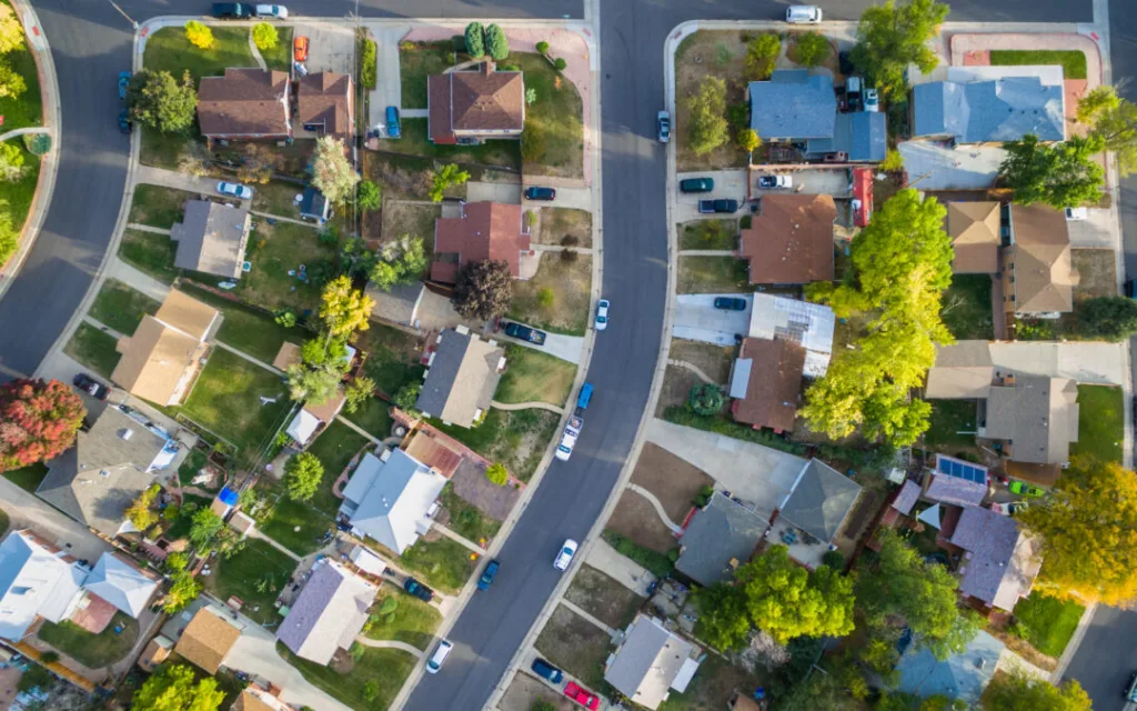
Paris: Superblocks and Limited Traffic Zones
Paris adopted strategies inspired by Barcelona’s superblock model and created limited traffic zones to restrict traffic in central areas. Covering an area of 5.5 square kilometres, including the first four zones, these zones allow only certain vehicles (e.g. emergency services, residents and destination traffic) to pass through, reducing traffic on the busiest roads by up to 30%). Mixed-use developments and transit-oriented design further reduce the need for car travel by placing amenities within walking distance, while pedestrian zones encourage non-motorised transport by increasing street activation and block permeability.

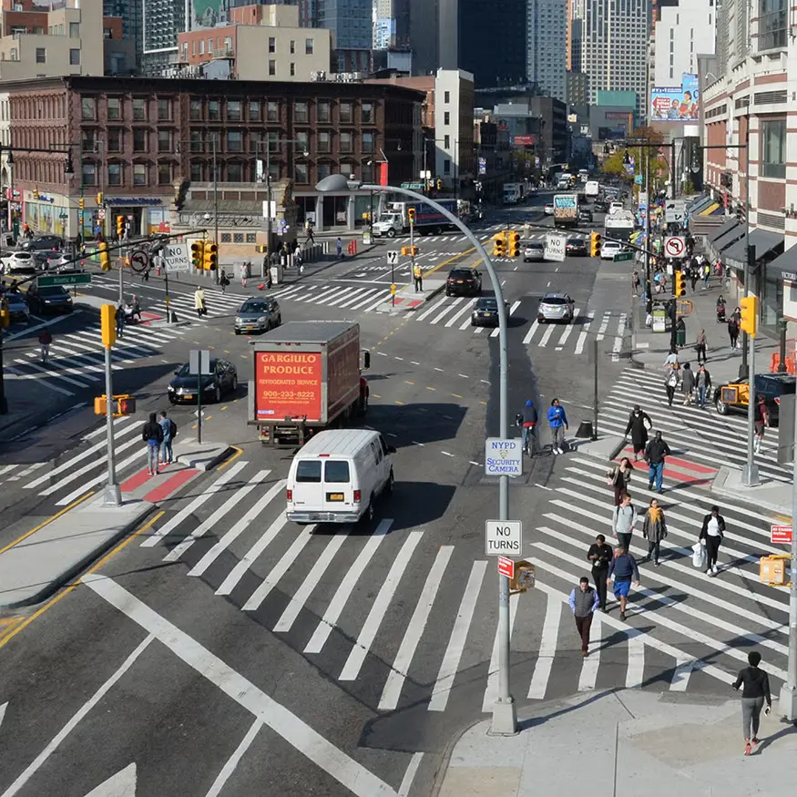
New York: Pedestrian Zones and Shared Streets
The Snøhetta-led transformation of Times Square in New York into a pedestrian plaza is an example of the use of shared streets to manage traffic. Launched in 2009, the project closed Broadway to vehicular traffic between 42nd and 47th Streets, adding 110,000 square metres of pedestrian space. As a result, pedestrian-vehicle accidents decreased and traffic flow improved in the surrounding areas. The city’s grid system supports a spatial hierarchy that prioritises pedestrian safety through arrangements that provide open roads and accessible street furniture.

Istanbul: Tunnels and Overpasses
Istanbul’s unique geography, divided by the Bosphorus, requires infrastructure such as tunnels and flyovers to manage traffic. The Eurasia Tunnel, a 5.4 km long double-deck tunnel under the Bosphorus, reduces the journey time between Kazlıçeşme and Göztepe from 100 minutes to 15 minutes and carries 120,000 vehicles per day. The Northern Marmara Motorway, with its bridges, tunnels and overpasses, alleviates congestion in the city centre by diverting east-west traffic. These vertical layering strategies improve circulation patterns by separating regional and local traffic.
Source: Union of Marmara Municipalities
https://www.marmara.gov.tr/en/streets-transforming-for-children
| City | Strategy | Impact on Traffic |
|---|---|---|
| Paris | Super Blocks, Limited Traffic Zones | Traffic reduction of up to 30% on busy roads |
| New York | Pedestrian Zones, Shared Streets | Reduced accidents, improved pedestrian flow |
| Istanbul | Tunnels, Overpasses | Significant reduction in travelling time |
Transport Nodes as Urban Filters
Transport nodes such as metro stations and ferry terminals are designed to facilitate seamless multimodal integration and reduce surface traffic by encouraging the use of public transport.
Grand Paris Express
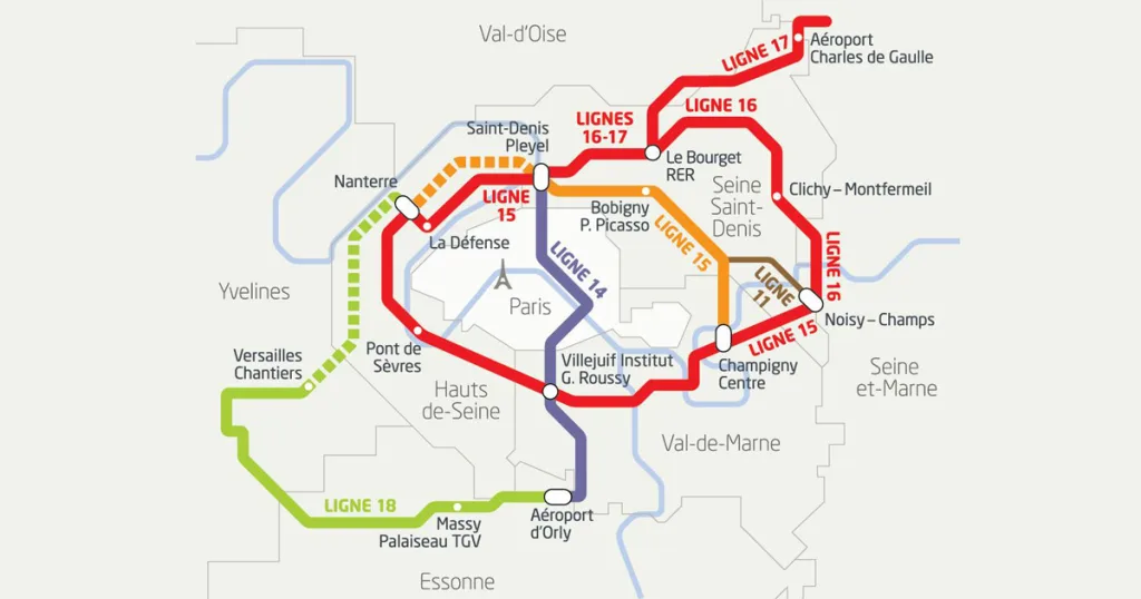
The Grand Paris Express is a 200 km metro extension project, including 68 new stations, which aims to connect the suburbs of Paris without the need to pass through the city centre. Line 18, for example, addresses the 80% car dependency of the Saclay plateau by offering a sustainable alternative, potentially reducing road traffic and CO2 emissions. Station designs emphasise vertical circulation and visibility to enhance user experience and accessibility.

Marmaray of Istanbul
The 13.6 km Marmaray railway tunnel under the Bosphorus connects the European and Asian sides of Istanbul, integrating with metro and bus networks. It provides a high capacity alternative to congested bridges, reducing reliance on private cars, but specific traffic reduction data is limited (Marmaray). The stations are designed for efficient transfers, supporting Istanbul’s sustainable mobility objective.

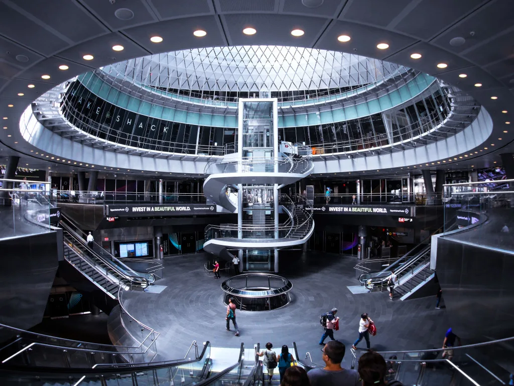
Fulton Centre, New York
The Fulton Centre integrates five subway stations serving nine lines, facilitating transfers and improving pedestrian flow in Lower Manhattan. Its design, which includes a glass oculus and pedestrian crossings, indirectly reduces surface traffic by making public transport more attractive by avoiding busy street crossings. The LEED silver certification of the centre highlights its sustainable design approach.

Cultural Attitudes and Regulatory Approaches
Cultural attitudes and regulatory frameworks shape how cities prioritise traffic reduction and public space allocation.
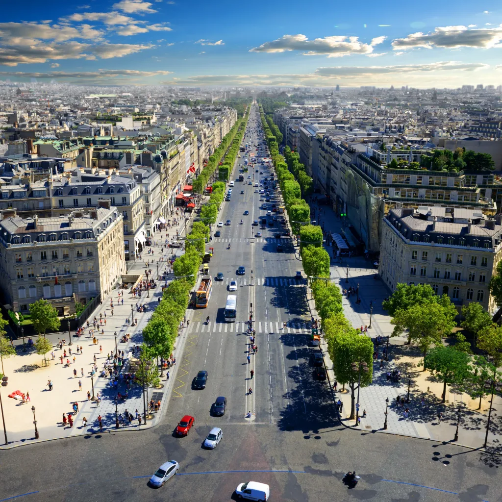
Paris: Pedestrian Friendly Boulevards
Paris’ cultural emphasis on aesthetic, pedestrian-friendly streets stems from the 19th-century Haussmann boulevards, originally designed for crowd control but now favouring modern mobility. Under Mayor Anne Hidalgo, regulations encourage car-free zones and 30 km/h speed limits, reflecting a cultural shift towards sustainable urban living.
New York: Network Based Security
New York’s grid system promotes a cultural expectation of efficient and accessible streets. The Street Design Guidelines mandate clear pedestrian routes and reflect a cultural value of inclusivity, prioritising safety through Vision Zero. Regulations ensure that the layout of street furniture accommodates different users and balances vehicular and pedestrian needs.
Istanbul: Balancing Heritage and Modernisation
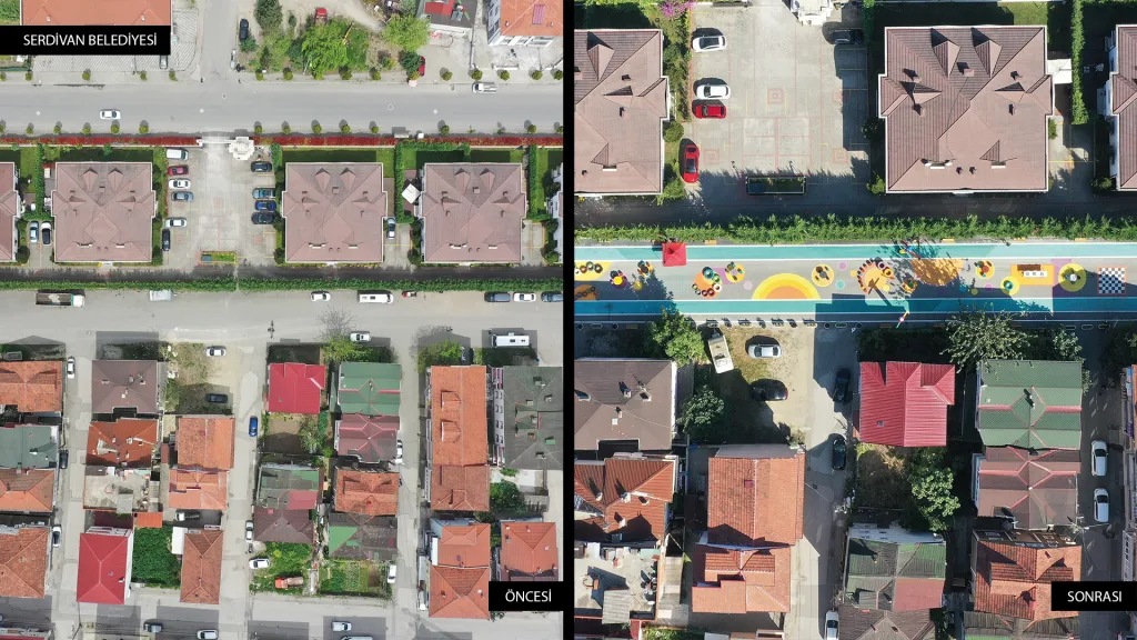
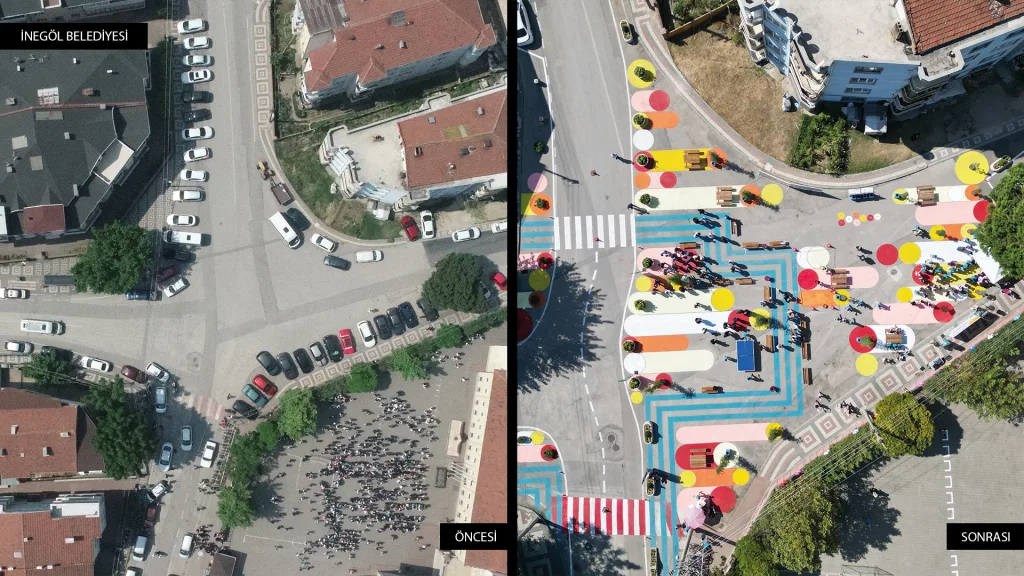
Istanbul’s uneven historic fabric, with its narrow streets and historic sites, meets modern traffic demands while influencing a cultural priority to preserve heritage. The pedestrianisation of 295 streets in the Historic Peninsula reduces air pollution and supports local businesses in line with the regulations of Fatih Municipality.
Architectural Interventions
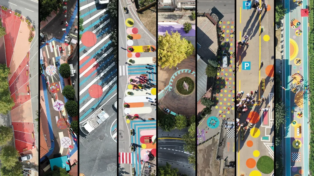
Architectural interventions such as green corridors and raised walkways reclaim public space and separate traffic flows.
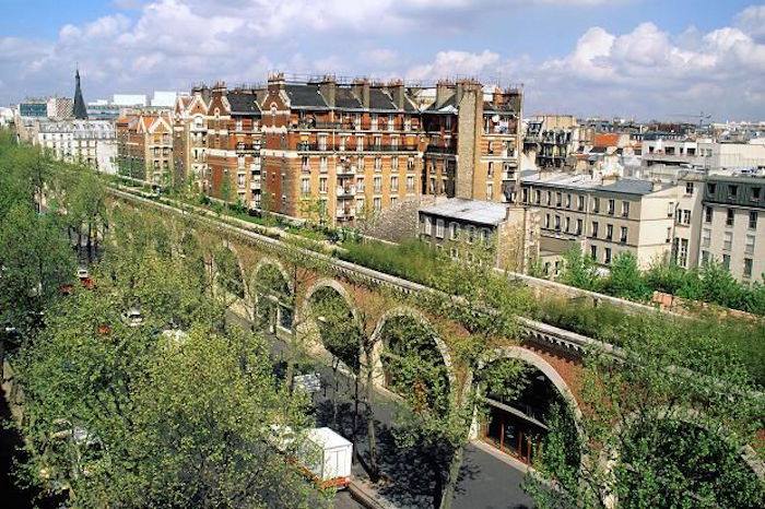
Coulée Verte, Paris
The Coulée Verte, a 4.7 km pedestrian route on a former railway, offers a traffic-free route from Bastille to Vincennes. Its elevated and underground sections offer unique views of the city and reduce pedestrian congestion at street level. It inspired the High Line in New York and enhanced public life by creating a green oasis.

High Line, New York
A 1.5 mile long elevated park, the High Line transforms an abandoned railway line into a pedestrian corridor. While primarily a recreational space, it reduces pedestrian traffic on the streets below and indirectly supports traffic management by encouraging walking. Its integration with urban arts and activities enhances community vitality.


Pedestrian Tunnels and Overpasses of Istanbul
Istanbul’s pedestrian underpasses and overpasses, such as those in Taksim Square, reduce conflicts between pedestrians and vehicles by facilitating safe crossings on busy roads. The Taksim Square Pedestrianisation Project diverted traffic underground, creating a car-free square above. These interventions improve safety and reclaim the surface area for public use.
Governance Models and the Role of Architects
Governance models and public-private partnerships are shaping the implementation of traffic management solutions, and architects are playing an important role.
Paris: Central Planning with Public Contribution
Paris’ centralised governance, led by the mayor and supported by institutions such as the Société des Grands Projets, ensures coherent urban planning. Public participation, such as participatory budgeting, allows residents to influence projects such as pedestrianised areas and community gardens (Paris Urban Planning). By designing within this framework, architects create spaces in line with sustainability goals.
New York: Framework for Co-operation
New York is governed by the Department of City Planning, the Department of Transport and private developers. The zoning code encourages public amenities, and architects design projects like the Fulton Centre to meet these standards. Public-private partnerships, such as the High Line, emphasise the role of architects in innovative design.
Istanbul: From Top to Bottom with Evolving Participation
The governance of Istanbul is centralised with the Istanbul Metropolitan Municipality and central government driving projects such as the Eurasia Tunnel. The Sustainable Urban Mobility Plan shows increased stakeholder engagement. Architects guide this top-down model by designing an infrastructure that balances modernisation with cultural preservation.
Conclusion
Paris, New York and Istanbul use a range of architectural and urban design strategies to manage traffic congestion, tailored to their cultural, regulatory and governance contexts. Innovative interventions such as transport nodes, pedestrian-friendly designs and green corridors improve urban mobility and liveability. Architects are at the centre of these efforts, contributing to more sustainable and vibrant urban environments by designing spaces that integrate with public transport, prioritise pedestrians and align with city-specific objectives.